Situational Awareness and Training Tools for Firefighters
ERIS is a giant leap forward in firefighters’ ability to save lives and protect property.
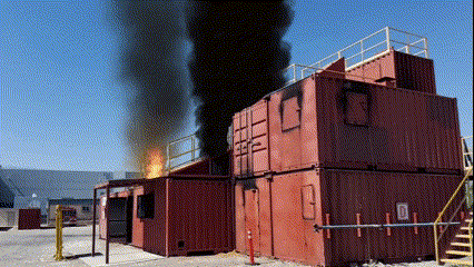
Each year in the U.S., half a million structure fires kill over 3,000 people and cause $12 Billion in property damage.
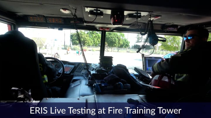
Train using virtual scenarios in existing physical facilities
ERIS displays virtual overlays on the real world simulating complex scenarios.
Visualize effects like smoke that interact realistically with the real environment
By leveraging spatial understanding ERIS is able to show 3D effects that moves and conform to the physical structure of the environment, dramatically improving training over current methods

AR-based Training leverages the existing training environments while also enabling flexible virtual scenarios like VR
Improve human & machine collaboration
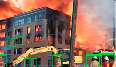
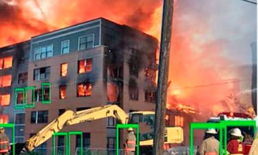
ERIS can be deployed on drones and allow the drone pilot or analyst to simply click on something seen in the view to geolocate it and show its location and how to get there to ground personnel
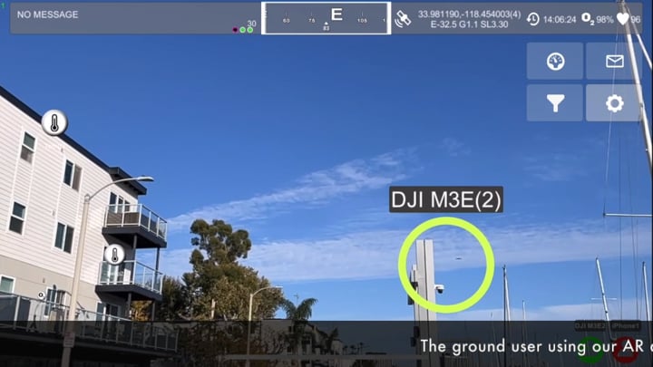
When drones are used to get an overhead view of an event, it is critical to effectively communicate the geolocation of a detected event in a timely maneer
ERIS (Emergency Response Information System) is a complete 3D mapping and visualization tool. It helps firefighters pre-plan more efficiently, train more effectively, and save lives - including their own.
TRAINING

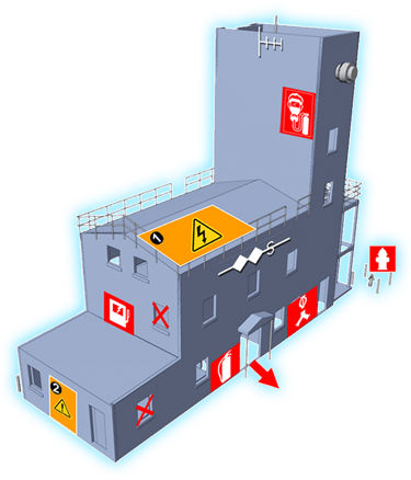
PRE-PLANNING
OPERATIONS
No limitations or costs of live fires or VR headsets.
Property details are captured in 3D.
The IC has a new level of situational awareness.
Reduces cost, time, and risk.
Better than handwritten notes and photos.
Goes way beyond 2-way voice communication.